
Algonquin Provincial Park: Smoke Lake to Phipps Lake (4 days / 40 km)


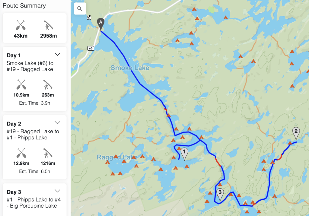
My middle daughter had been wanting to go on a canoe trip with me since my first trip in 2021, after I didn’t make it happen in 2022, by spring 2023 she was all over me to make sure I booked something for us. As is usual for me, I waffled over possible routes for months – to the point it was getting later into the summer and we still had no plan. I debated many routes, including starting at the Magnetawan access and heading down the Petawawa and circling back via Ralph Bice but decided (I think rightfully so in the end) to take on something a bit “easier”. I settled on heading out of Smoke Lake and ended up booking a night each on Ragged, Phipps and Big Porcupine; so it was basically an out and back trip. I figured this would be moderately challenging for an 11 year old while hopefully finishing with her wanting more.
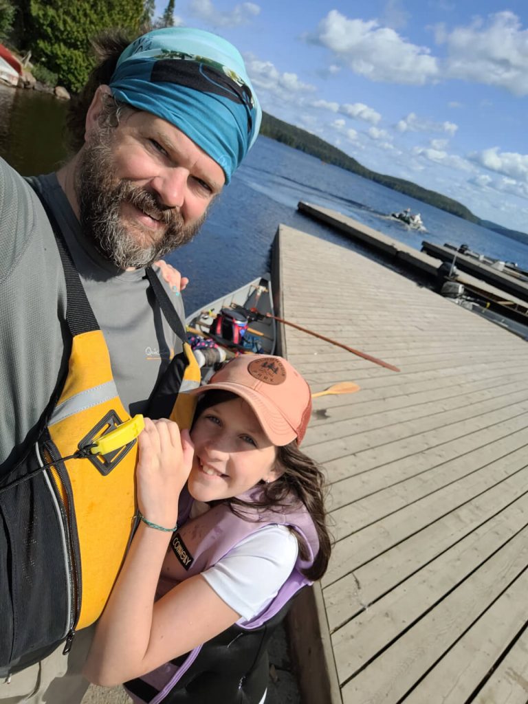
This was also a unique trip for me, in that it was my first non-solo trip. And I couldn’t have asked for better company. Even if we never do get out again together (though I think we will, she’s a great tripping partner), I’m so thankful we got to spend such quality time together in the wilderness.
Trip Completed: August 2023

Trip Summary
Location: Algonquin Provincial Park
Traditional Territory: This route takes place on the traditional territory of Omàmìwininìwag (Algonquin), Anishinabewaki ᐊᓂᔑᓈᐯᐗᑭ (source)
Maps & Resources
Guidebook: A Paddler’s Guide to Algonquin Park, Kevin Callan; 3rd edition
Maps: Jeff’s Maps, Algonquin, Adventure Map Algonquin 3 Corridor South, Official Canoe Routes Map of Algonquin Park
Canoe Route Planner: Click here to view and edit this route in the interactive canoe route planner
Permits & Reservations
Campsite Reservations: When reserving paddling backcountry campsites in Algonquin, you book a lake (or section of a lake or river for larger areas) to camp on. Sites on that lake are then first come first served (normally with fewer permit holders than the lake has sites, depending on the size of the lake or the number of sites). Reservations are made on the Ontario Parks website.
Permits: Permits are required and you can get them on the Ontario Parks website.
Outfitters & Shuttles
Outfitter: None used on this trip, though Algonquin Outfitters operates the Canoe Lake store directly across Highway 60 at Canoe Lake (Access Point 5).
Shuttle: A shuttle was not required as this route starts and ends at the same access point.
Trip Report
Day 1: Smoke Lake to Ragged Lake (8.9 km, 1 portage 240 m)
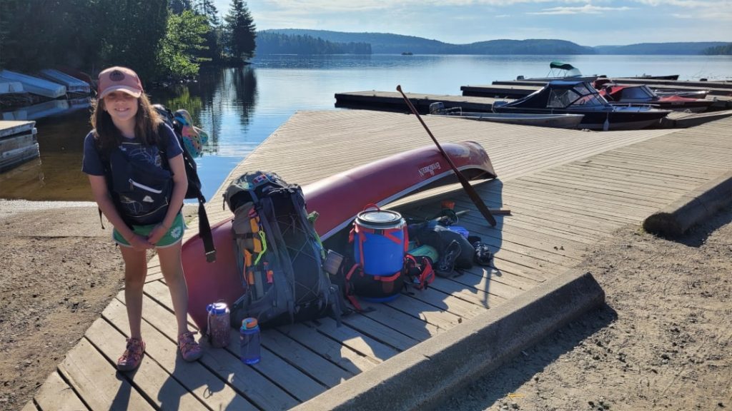
I’m not normally an early riser, but on previous trips (solo) I liked to wake up pretty early and hit the road to get on the lake as early as possible. Michaela takes after her dad with a liking to sleep in, so we compromised and got up fairly early but still made sure we had a full night’s sleep. The drive was pleasant, under mostly clear skies. Michaela read most of the way as she was nearly through a book and I advised her to try and finish it so she didn’t have to bring two books on the trip and still have something to read. She finished that book about at the time we passed the West Gate entering the Park.
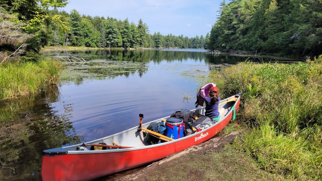
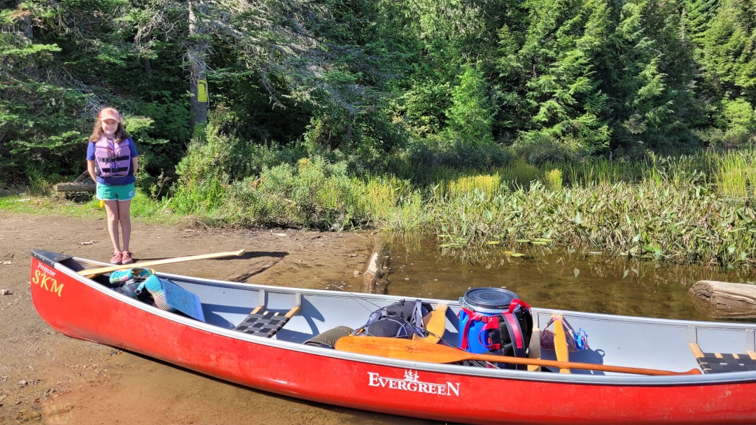
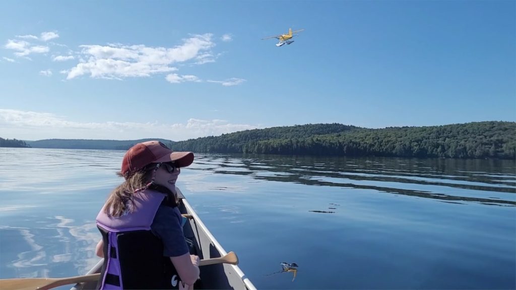
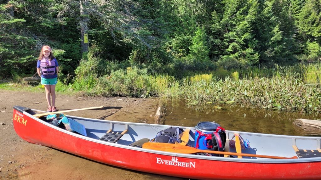
We arrived at Smoke Lake Access Point on Highway 60 (across the road from Canoe Lake) around 9 am and we were on the water by 9:30. It was a clear, calm, pleasant morning – perfect conditions to start a first trip. Ten minutes after setting off, we were buzzed by the Park float plane. It was very cool to see and Michaela was super excited, and at this point it was safe to say I was one happy Dad.
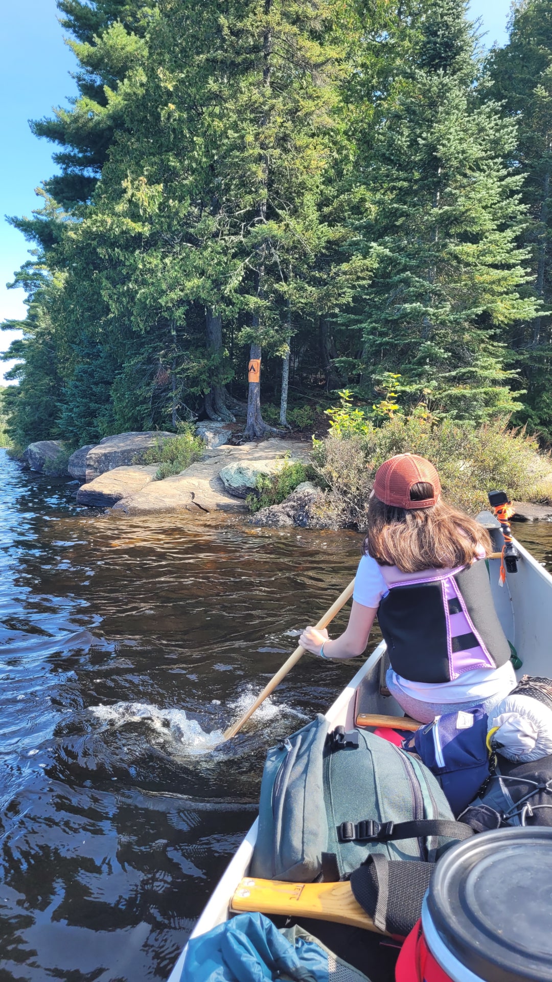
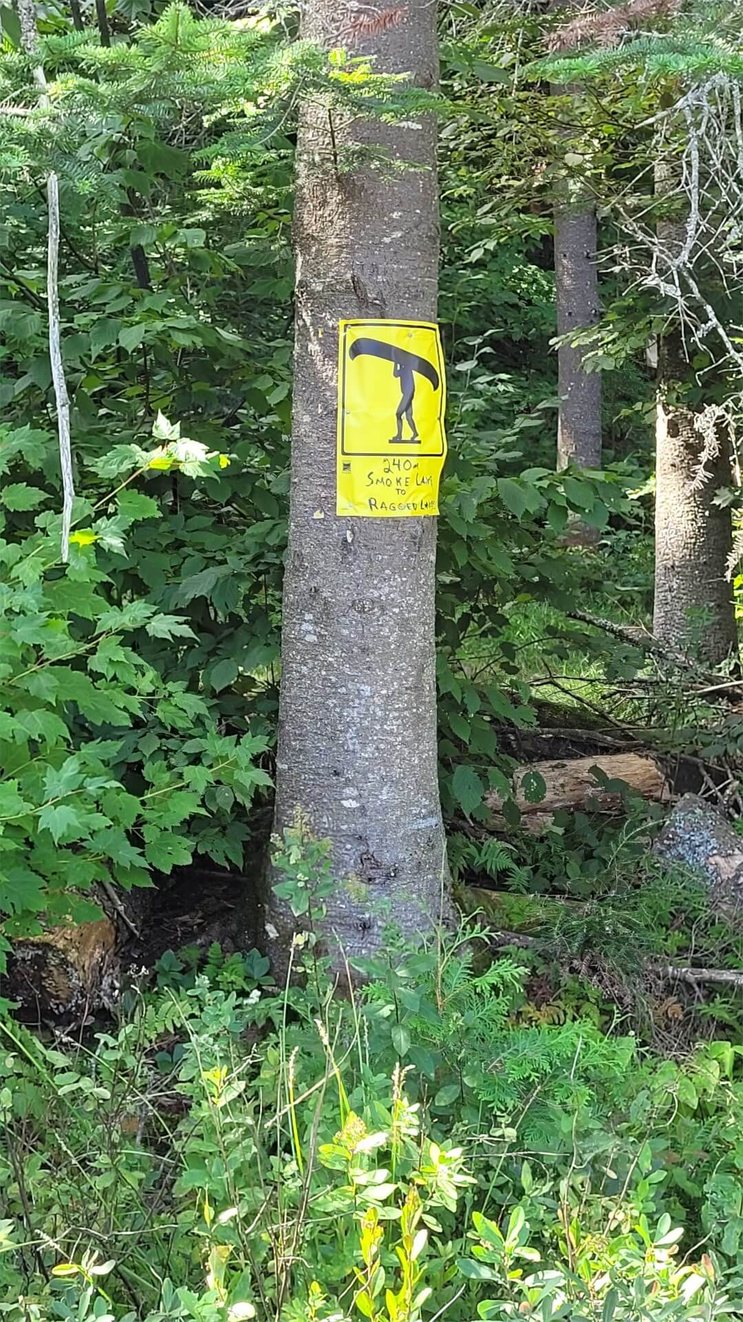
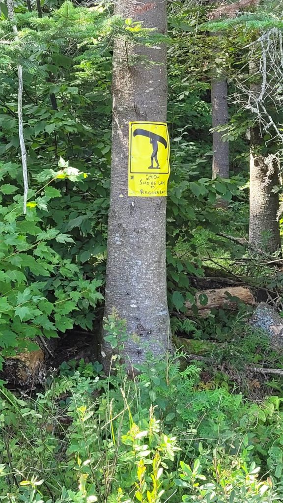
We had a good paddle down Smoke, after a brief stop at Mollie’s Island we made our way mostly down the centre of the lake – taking advantage of the calm conditions. We eventually veered towards the eastern shore passing by some of the lake’s cottages and then eventually into Ragged Bay towards the 240 m portage to Ragged Lake. We hit the take out just before 11 am.
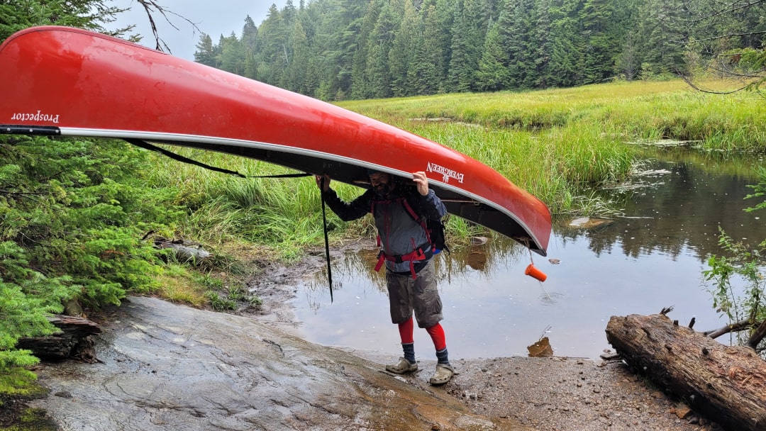
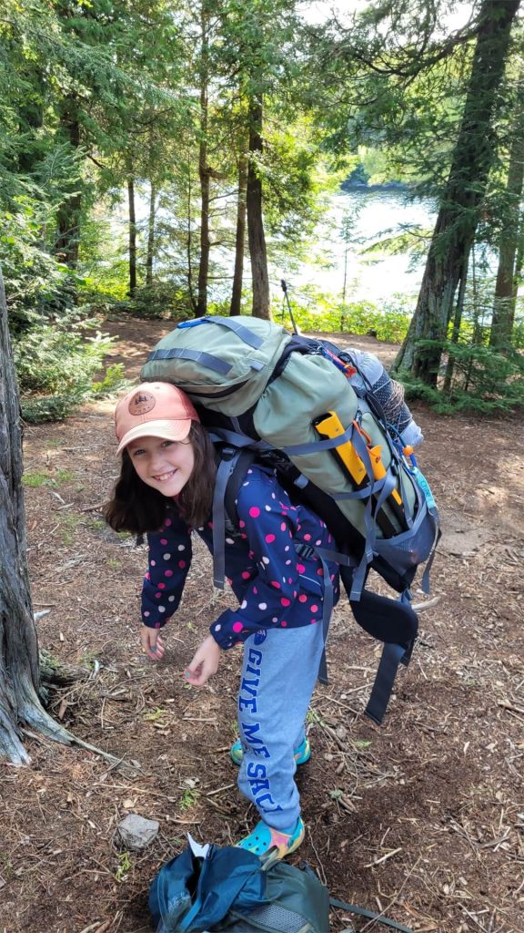
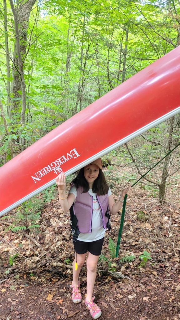
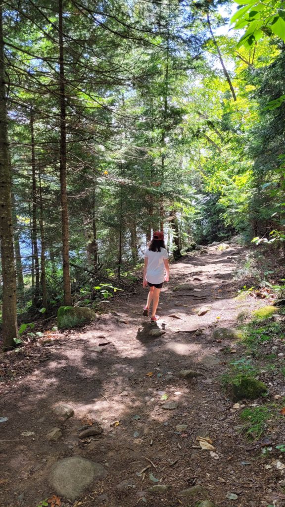
The portage into Ragged is heavily travelled and relatively straightforward, though is quite rocky at the Smoke end and mostly uphill. A “good short steep hike” I’d say. Michaela rocked her first portage, she still had a beaming smile even though her pack was a little heavier than I think she would have liked. We took our time, the double carry full trip took about 30 minutes.
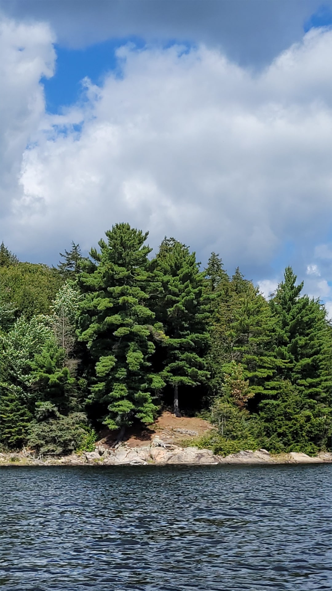
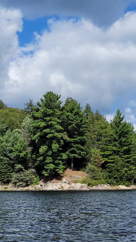
As we put in on Ragged Lake, a group heading in the opposite direction mentioned there was a bald eagle in a tree just as the lake opens up. And sure enough, it was still there – perched atop a white pine staring at us as we paddled by. Pretty neat to see.
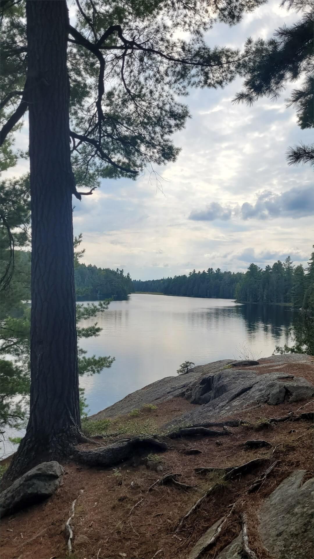
We made our way towards the central island, remarking on how ragged Ragged Lake truly is. Numerous bays, with rocky shorelines. It’s a beautiful lake. Ragged was our destination lake for the day and I had a few target campsites in mind based on some online campsite reviews and trip reports. I was hoping for something a little out of the way, with good western views to enjoy the sunset.
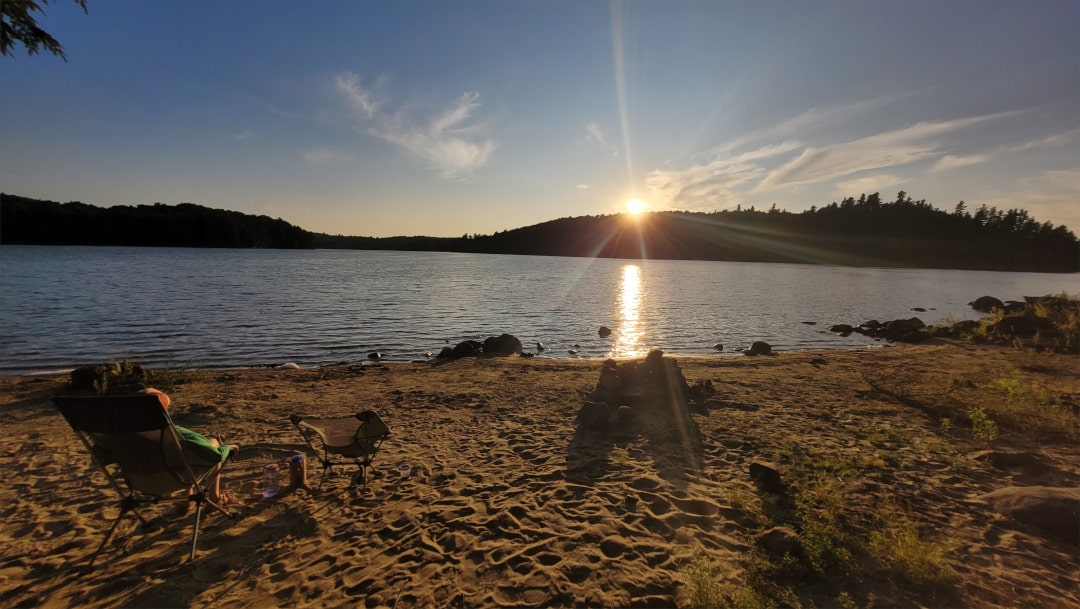
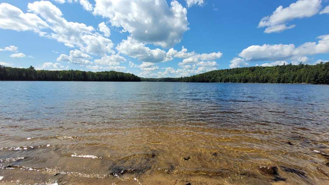
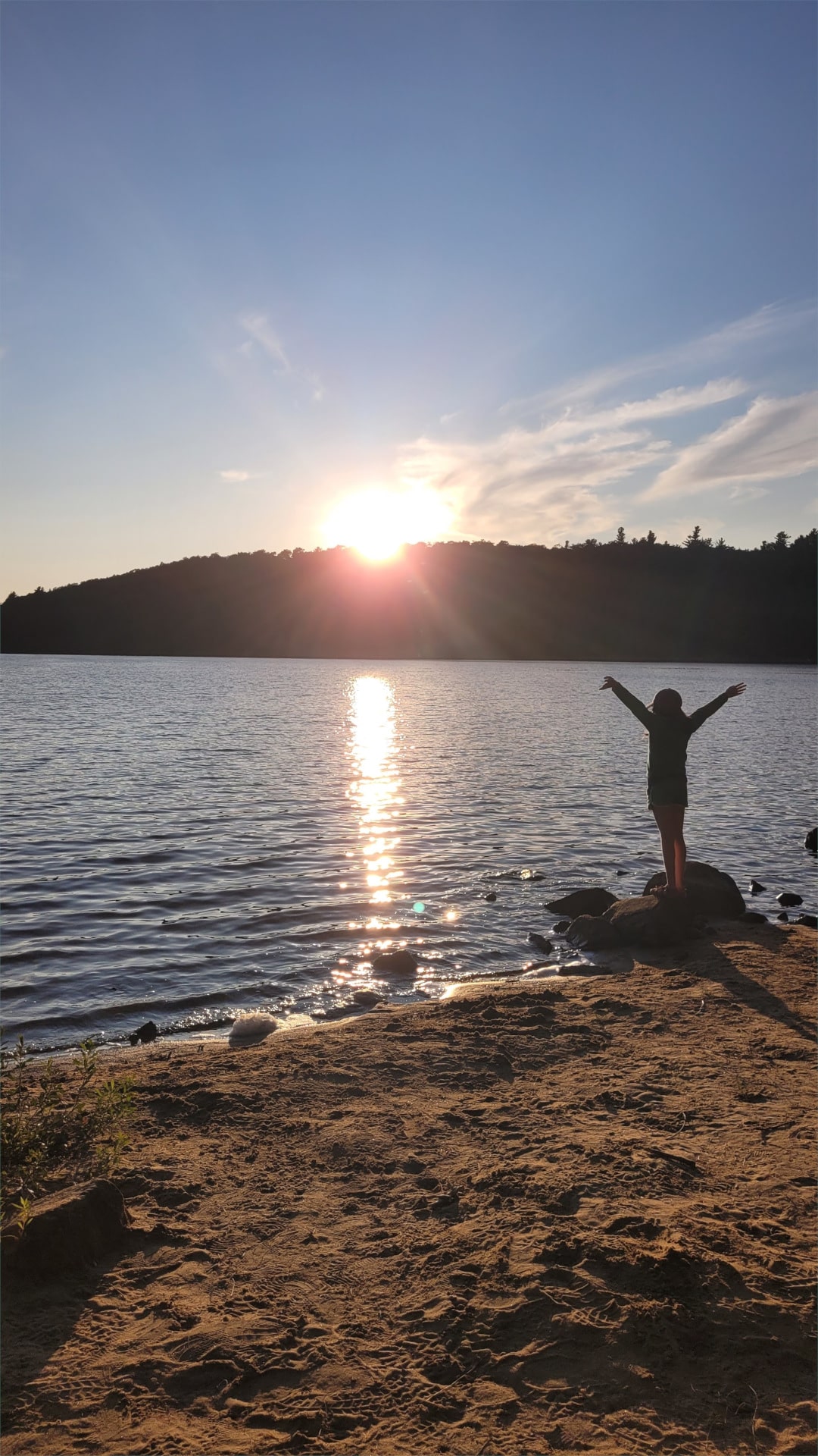
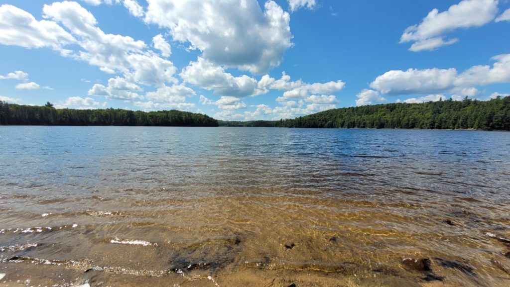
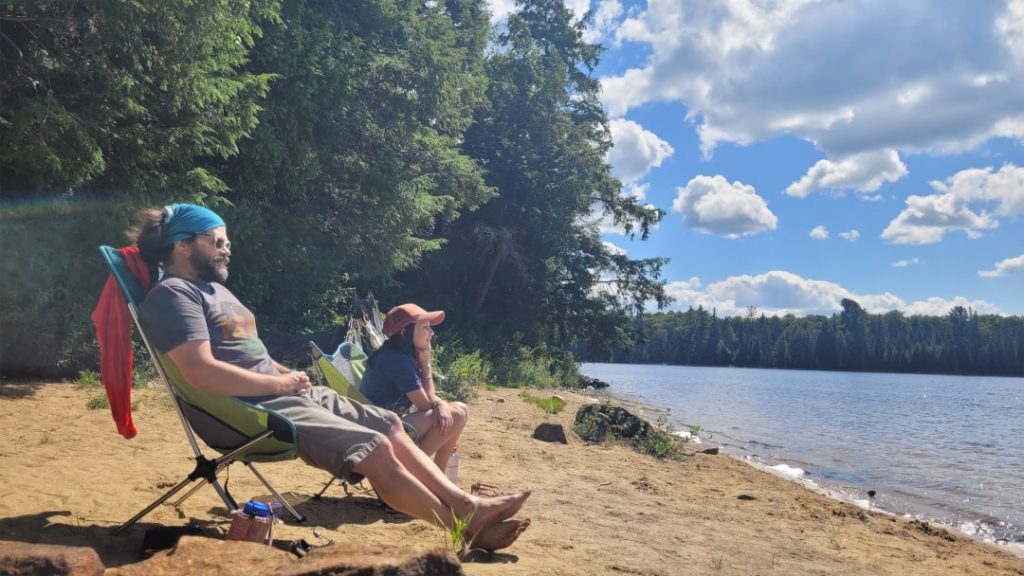
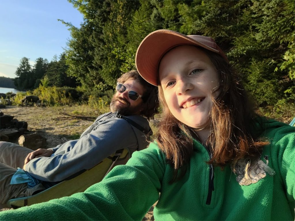
We paddled past a few occupied sites and then decided to head down towards West Bay in hopes the island site was open. Sadly it was occupied but the site across from it had a nice inviting beach and as soon as we went ashore Michaela was thrilled with the site so we quickly called it home for the night. It was still early in the afternoon and we enjoyed the warm sun, sitting on the beach for a while. I went for a swim and Michaela drew in the sand.
After getting camp set up, we went for a paddle to find some firewood and managed to get a decent haul not far from our site on the opposite shore. Mikey was eager to help and scampered up a pine needly slippery steep slope with great enthusiasm to gather some birch bark. We paddled back to our site, singing sillily the Land of the Silverbirch – both thrilled to be out in the backcountry.
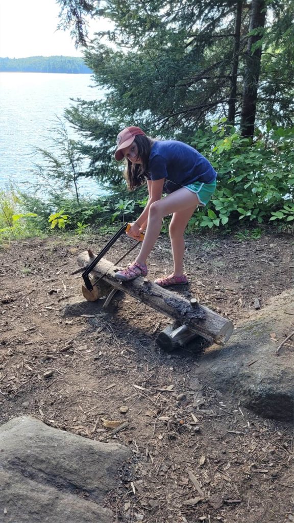
Michaela was definitely not going to have me doing all the hard work and camp chores. She took a turn with my new 21” Agawa Canyon bow saw to cut up some of our gathered wood and then despite a few failed first efforts, persistently got our fire going so we could make dinner.
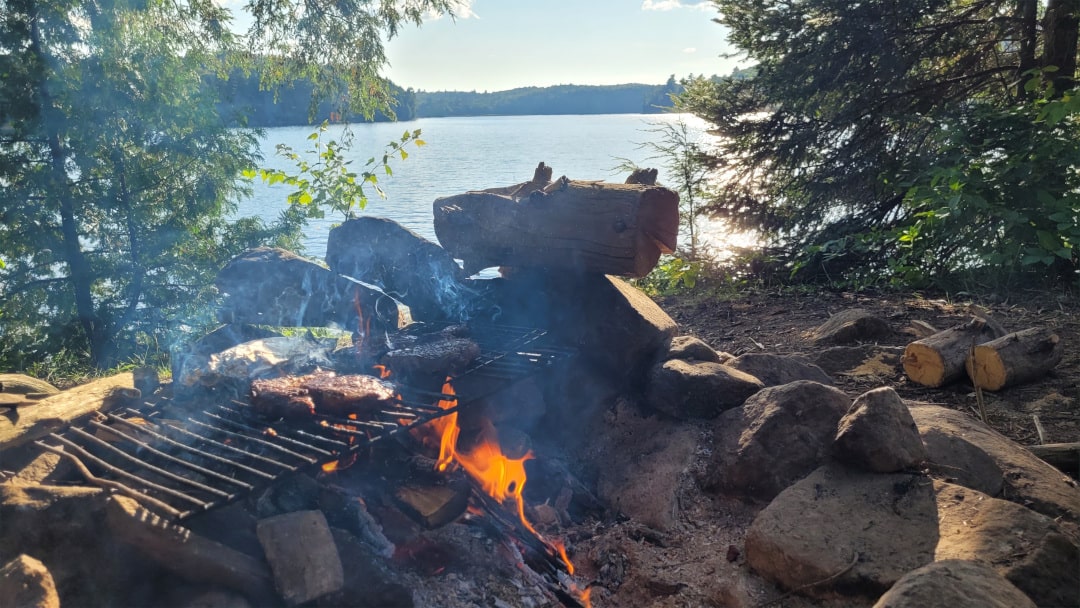
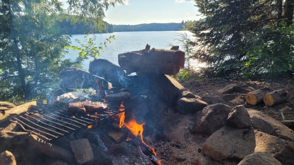
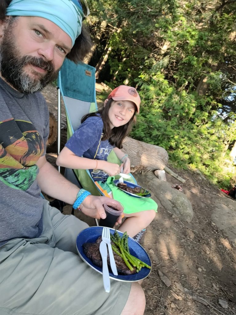
We cooked up some steak and asparagus over the fire and enjoyed the meal by the fire. Michaela couldn’t get over how good the steak was cooked over the fire.
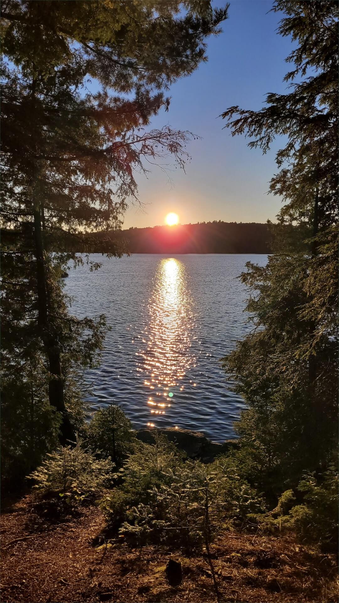
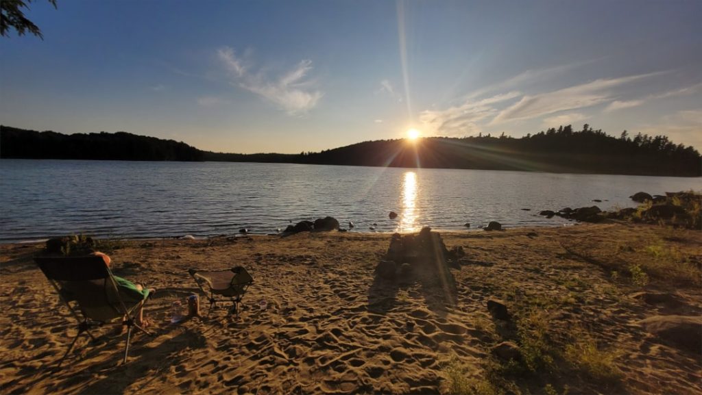
We then sat down on the beach for a while, enjoying the sunset and listening to sandhill cranes calling out across the bay (I think coming from Crown Bay to the southwest). Such a hauntingly cool call they have.
Soon after the sunset, a nearly full moon rose opposite the setting sun which caught us a bit by surprise. We sat out on the rock point for a while watching the moon rise over West Bay. We then got our fire going again, to roast up some marshmallows topped on two-bite brownies for dessert. We enjoyed the campfire, talking about the day and the rest of the trip that lay ahead. By quarter to 10, we retreated to the tent and both read a bit before falling asleep.
Campsite: Campsite #15 (unofficial campsite numbering) on Ragged Lake.
We really enjoyed this campsite, it offered great views east, south and west over West Bay and towards Crown Bay on Ragged Lake. The shoreline around the site has both rocky areas and a great beach. The beach has a fire pit and plenty of room for a tent if you wanted to camp right on the beach. The interior of the site has a nice large fire pit and exposed rock. There was no seating around the firepit but there was a bit of shelf behind the fire pit area. There are one or two smaller tent spot options. The thunderbox was easily found behind the site.
| Total Distance | 8.9 km |
| Portaging Distance | 240 m |
| Number of Portages | 1 |
| Campsite Reservation | Campsite #15 (unofficial campsite numbering). Reserve Ragged Lake |


Day 2: Ragged Lake to Phipps Lake (12.5 km, 3 portages: 590 m, 200 m, 175 m)
I crawled out of the tent a little after 8, Michaela stayed tucked in to snooze a while longer. The water was glass calm and I enjoyed puttering around camp and made some coffee. Seeing as our destination for the day was a lake for which only a single permit is available, I was in no great hurry to get going. After I coaxed Michaela out of the tent, we had some lemon loaf for breakfast, broke camp and hit the water a little after 9:30.
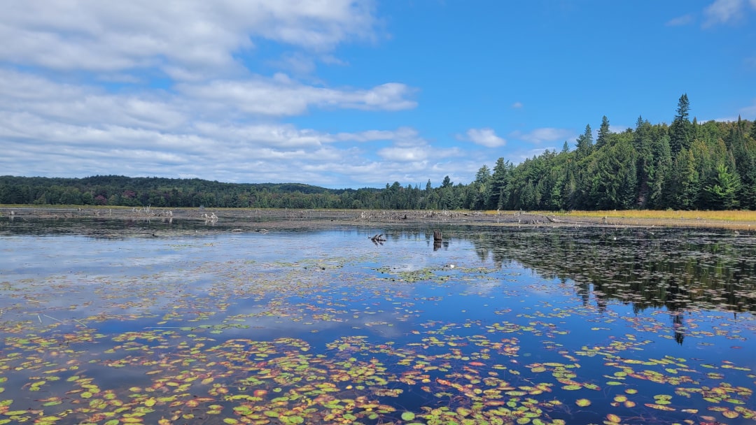
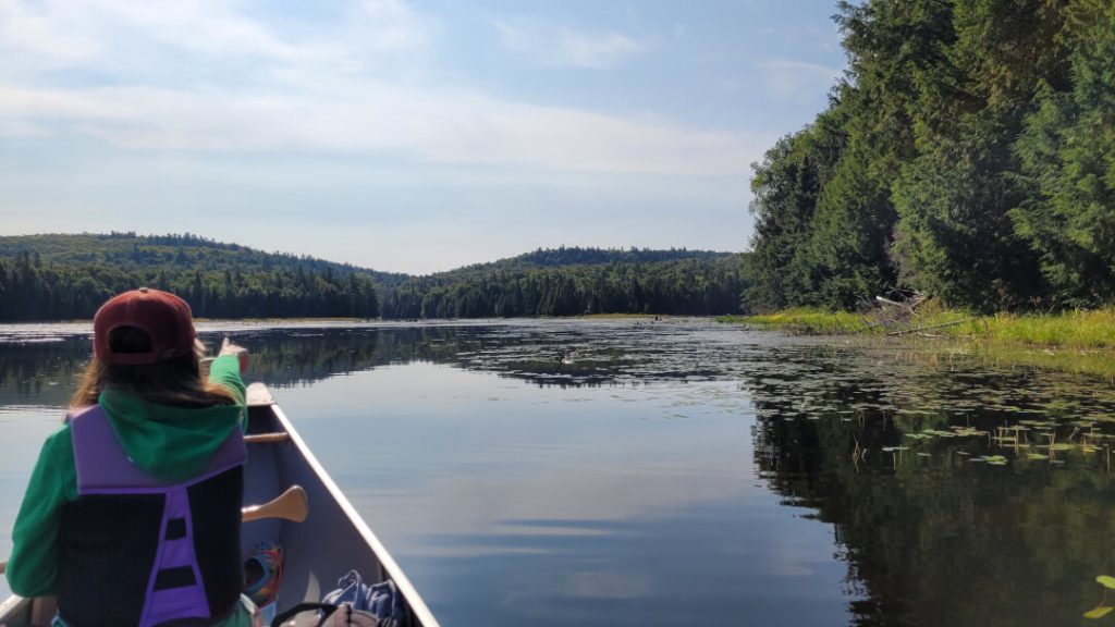
We leisurely paddled around the peninsula in the middle of Ragged Lake and then headed south into (aptly named) South Bay toward the “Devil’s Staircase” (which, as we’d find out, was also aptly named!) portage from Ragged into Big Porcupine Lake, a 590 m carry that climbs over 50 m in elevation along the relatively short trail. The marshy bay leading to the portage was picturesque and we had our eyes peeled for moose feeding in the shallows. While we didn’t see any moose, we did enjoy some snacks sitting alongside the rocky stream flowing into Ragged Lake.
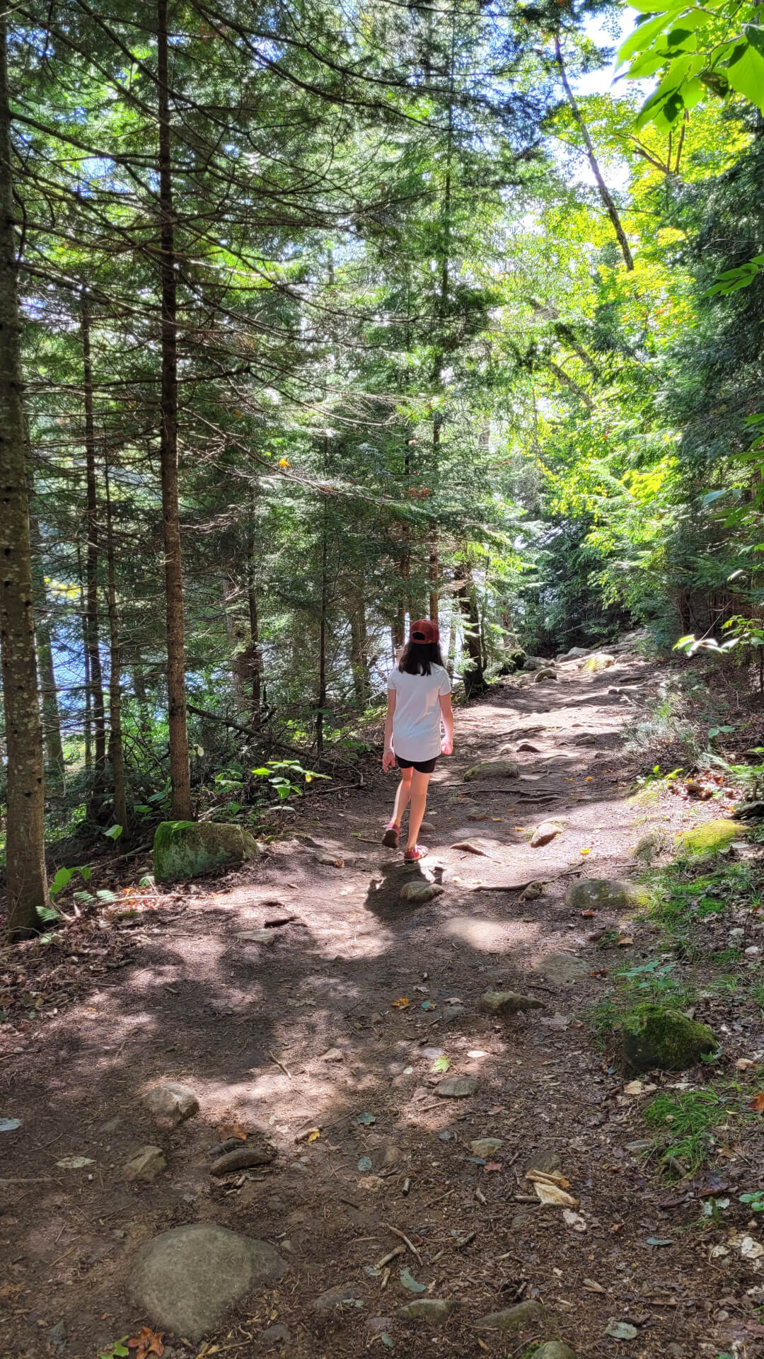
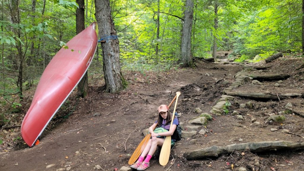
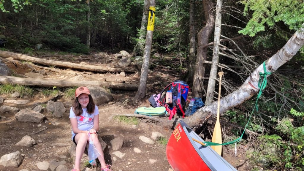
And then we headed up the staircase, in some areas it’s a literal staircase thanks to the stone and wooden steps parks staff have laid along the trail. It definitely was a climb, but I found it was over before I had a chance to feel too beaten up. After a brief rest at the Big Porc end, we headed back down the trail on the empty carry to pick up the canoe and last bits of gear. But before heading back up, Michaela needed some sugar motivation and so dipped into our stash of candy. I thought a ration of one piece of candy for every 100 m of portage was a fair reward – I don’t think she listened to me, and sat on a rock shovelling candy into her mouth for a while. She’d earned it!
Taking our sweet (literally!) time we finished up the infamous portage in a little over an hour. And as we hit the water on Big Porcupine, Beck’s tune “Devil’s Haircut” was now firmly stuck in my head. We paddled around Big Porcupine Lake(a 395 m portage can be taken connecting the north end of the lake to the southern half), keeping our eye on possible campsites to target on our way back the next day.
I’d warned Michaela ahead of our trip that filtered lake water can taste a bit funky, we were pleasantly surprised with Ragged Lake – no water flavour enhancers required! So Michaela got in her head we had to do a lake water taste test for each lake we paddled. We’d saved a bit of Ragged water from the day prior, and I filtered some quality fresh Big Porcupine H2O. We took a break to rehydrate and compare. Ragged Lake won hands down. And I’ll save you the spoiler, Ragged tasted better than any lake on this route.
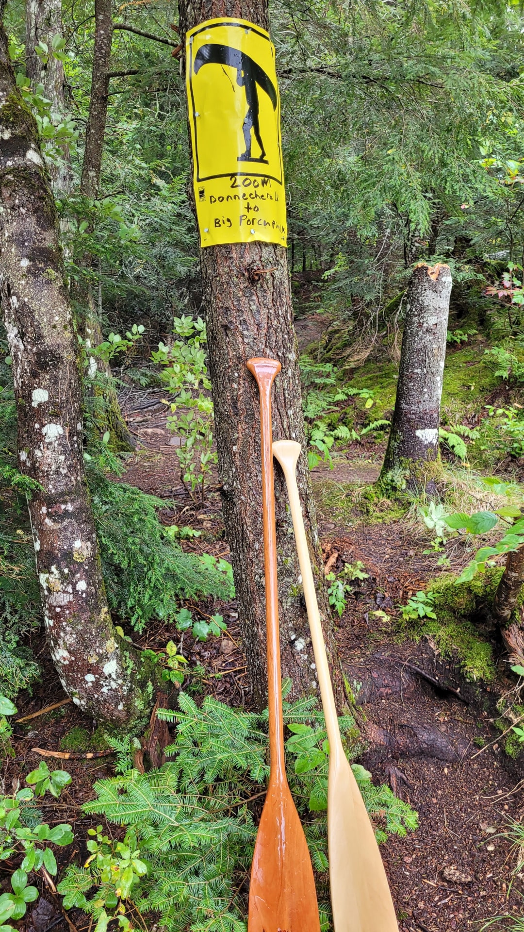
We had a leisurely paddle on Big Porcupine, spotting another bald eagle perched on a large dead pine tree on the western shore. By the time we reached the 200 m portage to Bonnechere Lake, we were both getting tired so we rested a while and I gave Michaela an extra rest by quickly jaunting down the portage trail on my own with a first load. There was a group of six older gentlemen resting and enjoying a late lunch at the other end. Pleasantries exchanged, I went back for the rest of our gear, and Michaela, and we made our way down the easy trail.
We pushed off onto Bonnechere at 1:45 and were happy to ride the tailwind up the narrow lake. On our way, we passed by two park staff in a flat-backed canoe equipped with a small outboard. I thought I’d heard an engine earlier but thought it was likely the park plane again. Turns out the crew was doing campsite maintenance in the area, we’d see them again the next day, taking a site just after they’d finished their work. But that’s getting ahead of things, we still had to get to, and then pick from one of two sites on, Phipps for this night.
We navigated the “Devil’s Razor” expertly, without leaving a lick of red paint on the sharp rock ledge that cuts across the weedy narrows in the middle of the lake. Devil’s Staircase, Devil’s Razor – the unofficial (nonexistent?) Algonquin Park feature naming team is clearly trying hard to make paradise sound like hell.
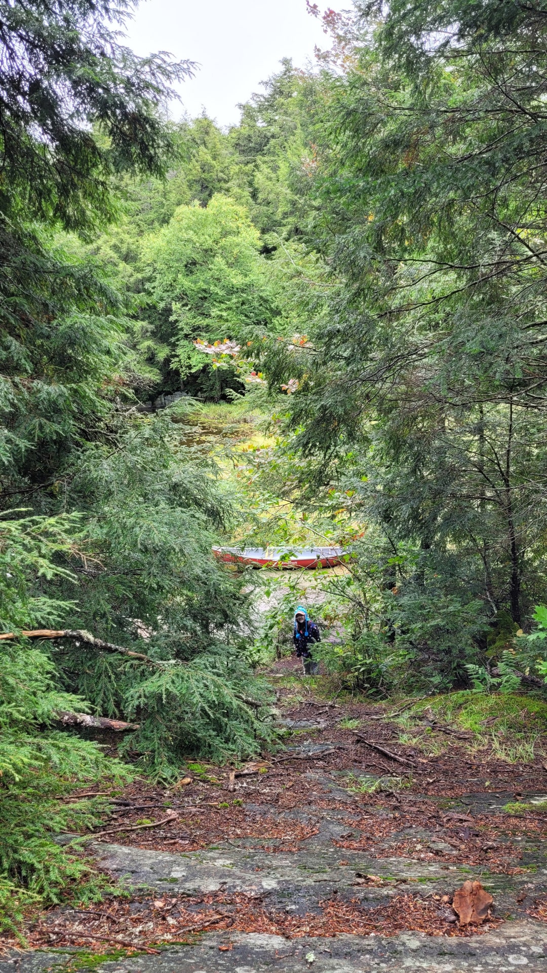
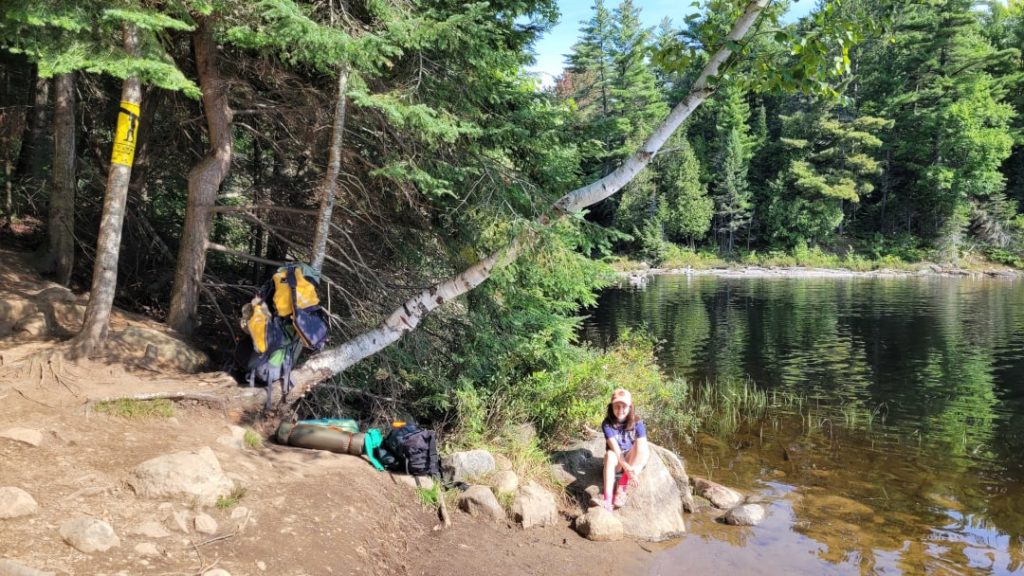
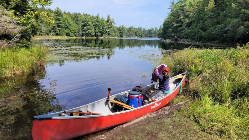
The north end of Bonnechere was pleasant and we paddled past a family of mergansers. But by the time we got to the takeout for the 175 m portage from Bonnechere Lake into Phipps Lake, Michaela was really starting to feel the exhaustion from two days of paddling. The skies were also starting to cloud over. Spirits though were still generally high. The portage was easy, and water levels on the Phipps end were high enough that we didn’t have to carry further (which as marked on Jeff’s Map is required in low water).
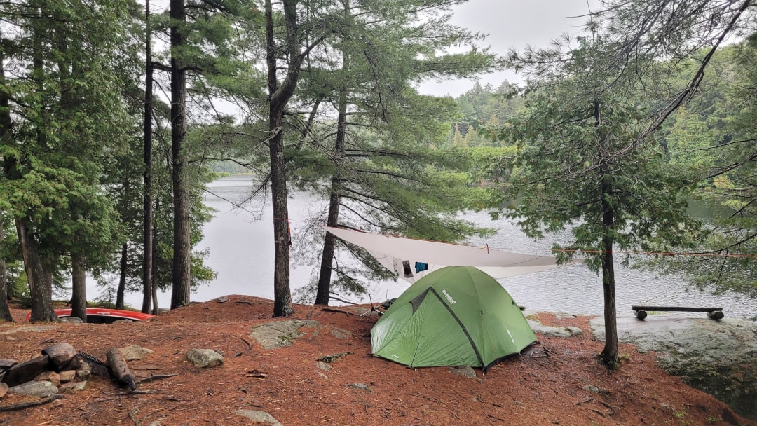
We paddled around the twisting creek, anticipating getting to our site for the night. I was pretty sure, from YouTube videos, I wanted to take the western site on Phipps but we stopped at the eastern site first to check it out. It’s a really nice site, but we did head over to the other site and clambered up the rock and I think once we both looked out over the lake from the elevated site we had no intention of going back to the first site.
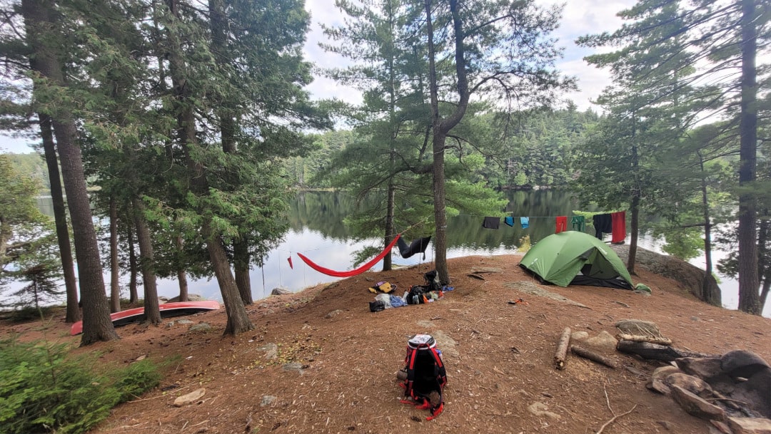
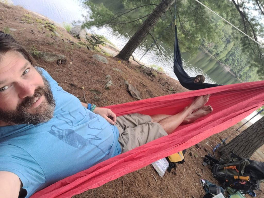
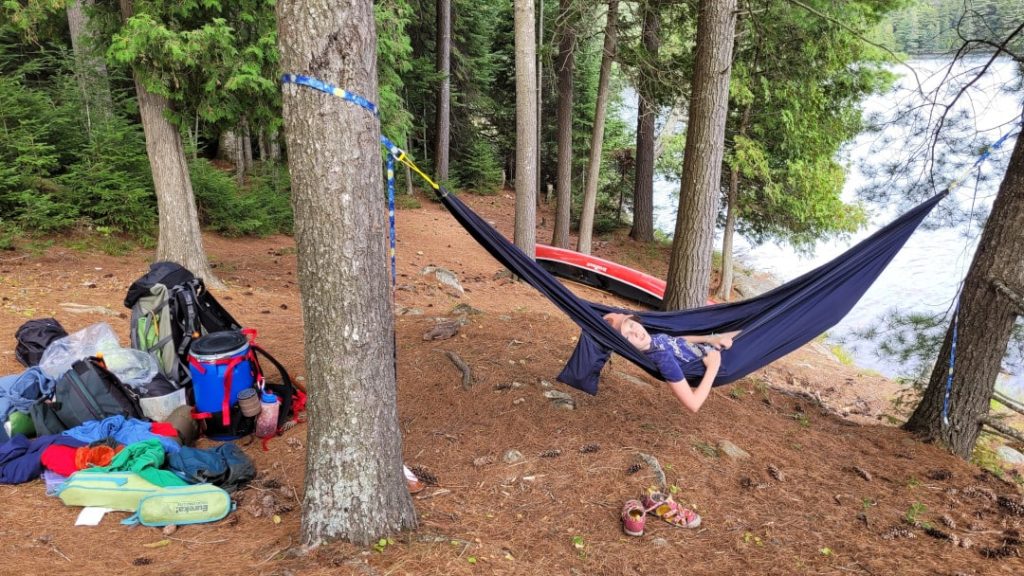
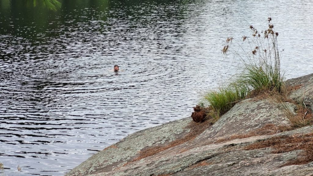
Once all gear was ashore, the first order of business was getting Michaela’s hammock set up and she enjoyed relaxing with her book while I went for a swim (with Phipps’ resident loon close by) and then set about making camp. I then got my hammock set up next to Mikey and we both just chilled for a while.
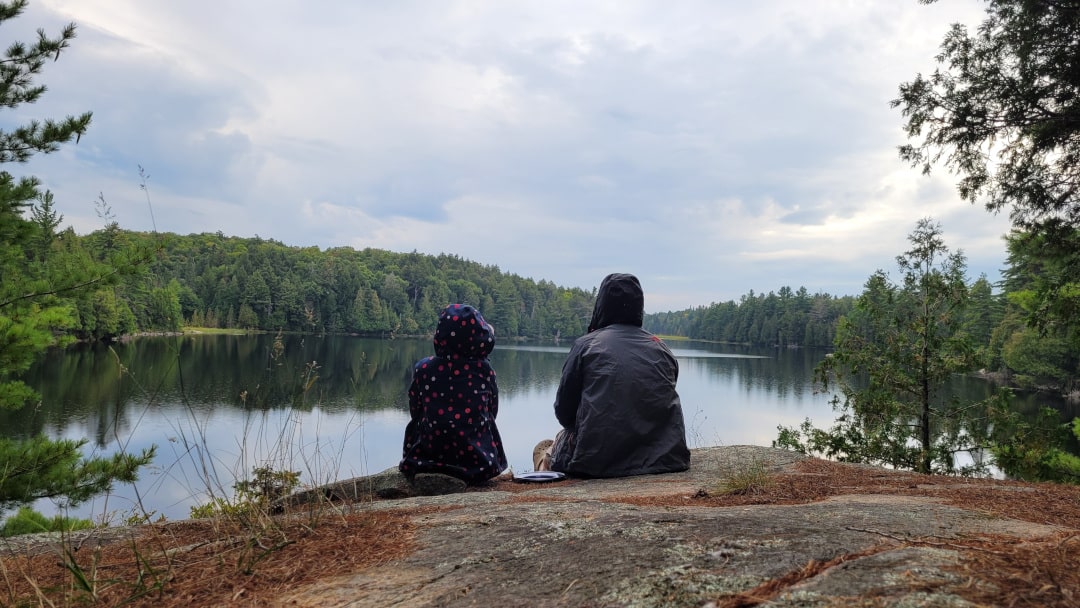
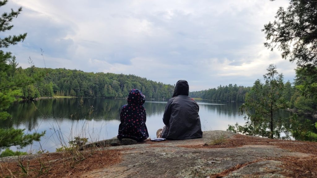
Rain was starting to look imminent so we didn’t bother searching for firewood, there was a little left from previous campers if we did want to have a small fire. We made naan pizzas for dinner on my MSR pocket rocket stove, which turned out great, and then sat in the drizzle on the open rock perched above the small beautiful lake.
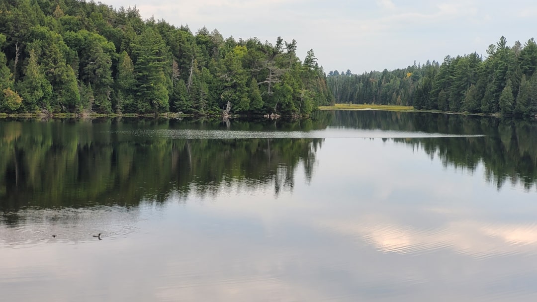
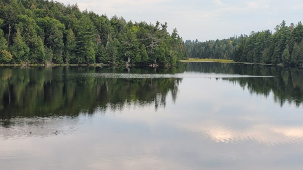
The lone loon on the lake then began calling, and calling, and calling. I’ll never tire of hearing that wonderfully haunting sound. And then seemingly out of nowhere, the loon’s mate came gliding in as if we were sitting at the end of the runway and took up position right next to its partner swimming about in front of us. It was really cool to see (and hear).
We enjoyed some dessert and then with light rain falling, tucked into the tent relatively early – well before 9 pm. Both of us did some reading, with the soothing sound of rain on the tarp I’d half-heartedly set above our tent dozing us both off to sleep. Overnight, the wind picked up, and there were a few periods of heavy rain well into the morning.
Campsite: Campsite #2 (according to Route Planner) on Phipps Lake
There are two campsites on Phipps Lake, but only one permit can be booked for the lake. So if you’re booked on Phipps, you get the lake to yourself and the choice of two campsites. Both sites are probably above average, we checked out site #1 but decided to take site #2 which offered nice elevated views over the peaceful lake. And since we weren’t planning to do any exploring, the steep climb up from the canoe landing to the site was not a concern.
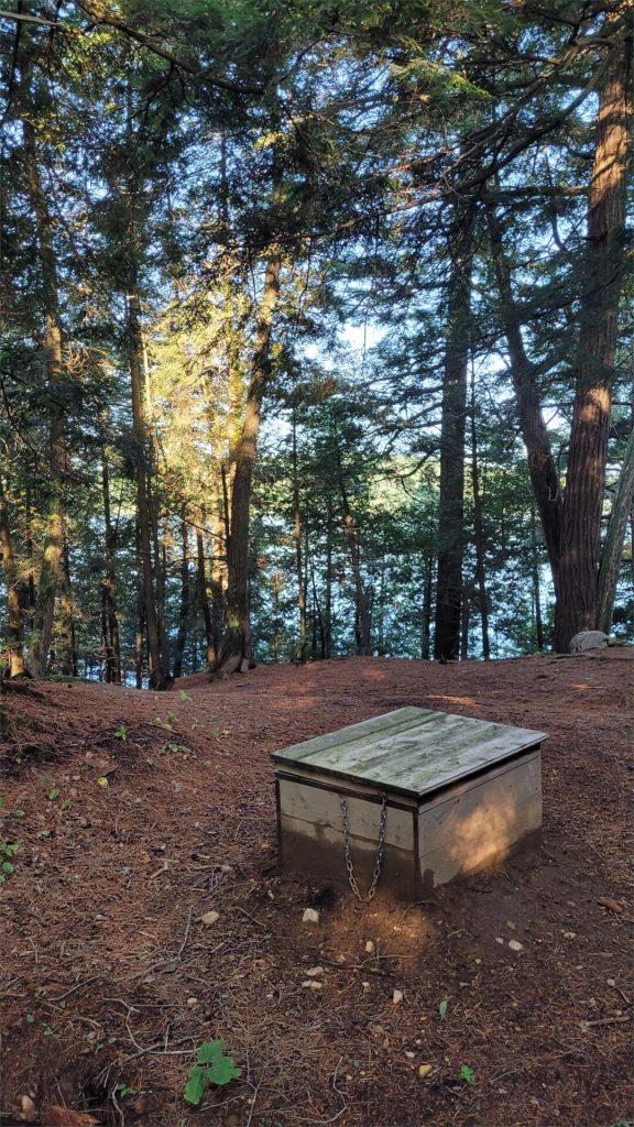
There’s one tent spot option at the front of the site and then a few more further up/back that would offer a bit more shelter. The firepit area is minimal but adequate and the thunderbox was easily found behind the site (as was some moose poop on our visit!). A small bench sits on top of the large rock at the front of the site, looking southeast.
| Total Distance | 12.5 km |
| Portaging Distance | 965 m |
| Number of Portages | 3 |
| Campsite Reservation | Campsite #2 (according to Route Planner). Reserve Phipps Lake |




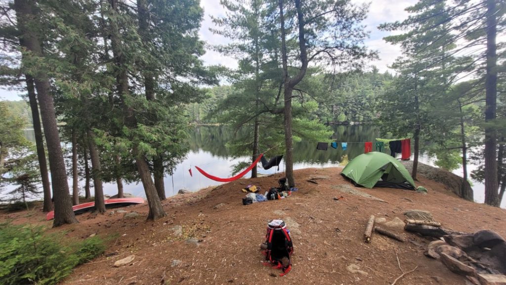
Day 3: Phipps to Big Porcupine (8.1 km, 2 portages: 175 m, 200 m)
Day 3 started wet and chilly. I got up at about 8, Mikey slept in…again. It was still raining and I made coffee under the tarp and dilly dallied around camp, enjoying the rainy views over the lake. I finally dragged Michaela out of bed as the rain died off. We had breakfast, oatmeal (or no-meal) for me and a bagel for Michaela. We took down camp, cleaned up and were on the water before 10:30. It was still chilly, and I was glad I had thrown Michaela’s toque into her pack at the last minute, and we both wore whatever the warmest clothes we’d brought under our jackets and PFDs.
We paddled into the small back bay before leaving Phipps, in hopes of perhaps seeing a moose. Instead, we were greeted by a group of otters and we watched them swim and stick their heads up checking us out. That was pretty cool to see. With rain picking up again, we headed towards the short portage back over to Bonnechere Lake (175 m). And even though it was now late morning, it was still quite cold – definitely in the single digits. Michaela fashioned my spare wool socks into mittens.
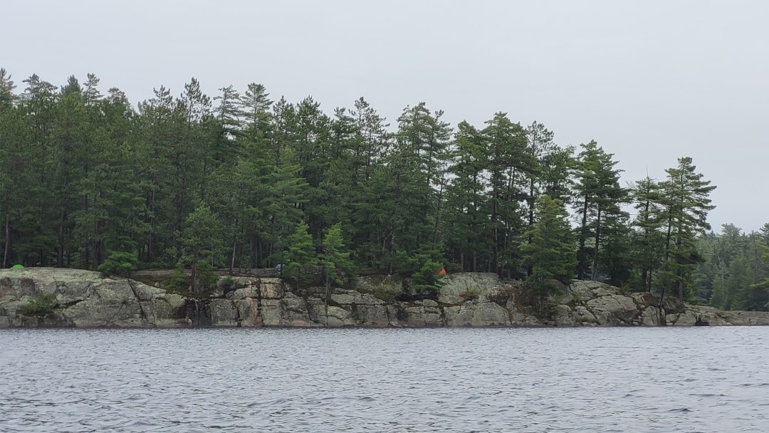
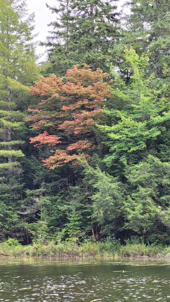
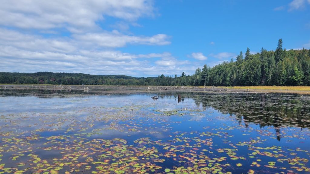
It was a pretty grey, drizzly paddle back down Bonnechere, with winds also picking up. But we were having fun and didn’t see any other paddlers out at all. We did pass by the impressive extended rock cliff site on Bonnechere, I was hoping to stop there for lunch but it was still occupied so we ventured on, back to the short portage into Big Porcupine. The first sign of fall colours was beginning to show, and despite the lacklustre weather, it was beautiful scenery.
Knowing we might have a tough last day, I didn’t want to take any of the sites on the southern end of Big Porcupine Lake. So we headed around the north side of the northern island, trying to shelter somewhat from the wind and we cut through the skinny spit of land behind the island before making our way up towards the narrows. We rounded the point heading into the narrows where we again saw the Parks crew. We kept going, and finding the site at the eastern end of the narrows vacant – we decided to go ashore and check it out.
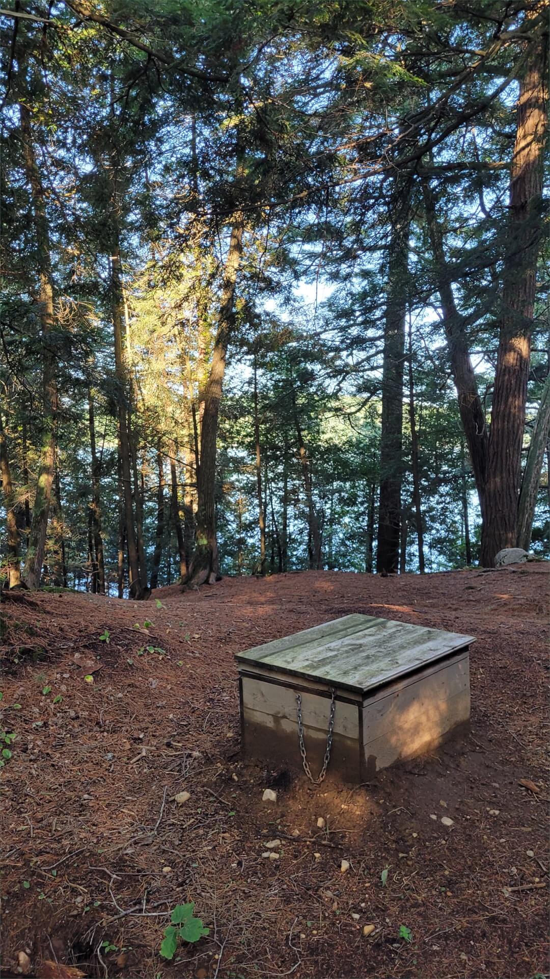
By now the winds were getting stronger and it was still overcast and cold. We found the site had some shelter from the wind, and had calm water access on the narrows’ side while also having open lake views on the other side. The site was freshly maintained, the crew had just left the site and the firepit was cleaned out and the area around it raked. We went looking for the thunderbox, it’s quite a ways up the ridge of the peninsula the site is on. We followed a trail for a while and almost turned back. I thought I’d never seen a thunderbox so far from the main site area – but then there it was. It’s quite elevated, offering partially obstructed views down over the lake.
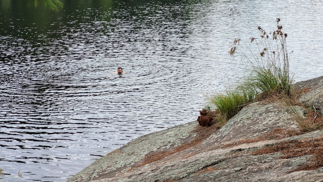
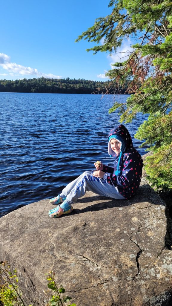
Having yet to go for a swim in the backcountry, for whatever reason, Michaela decided she’d brave the cold weather and we had a really silly time swimming off the sloping rock on the backside of the site. The water was warmer than the air and it was actually quite pleasant. Until we got out! Michaela got wrapped up in her hammock and I struggled a bit to warm up.
It looked like the rain was done for the day so I got a clothesline up and hung our wet gear to dry in the wind and then went on a hunt for some firewood. We processed the firewood, with Michaela having a go (with great success!) at batoning using my camp knife to split some small logs.
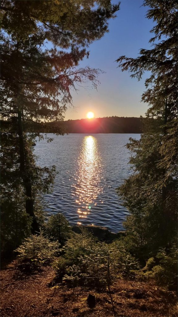
The skies gradually cleared though it didn’t get much warmer. I boiled some water to rehydrate the chilli and veggies I’d dehydrated a few days before our trip (my first attempt at a DIY dehydrated meal to take into the backcountry). Once rehydrated we spooned the chilli into tortilla bowls and topped with some cheese. We sat out on the rocky point enjoying dinner (which turned out great, a little runny and drippy but tasty) and the setting sun.
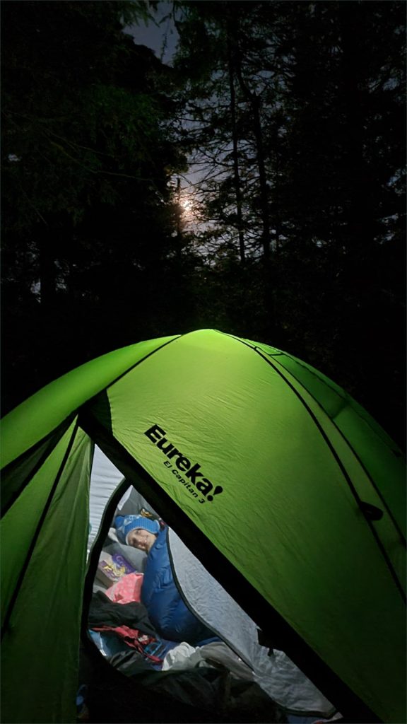
After dinner, we got a good campfire going and roasted some marshmallows. The winds finally died down and it was a beautiful night. We waited for the full moon to rise, but weren’t quite on a good angle to see it. We stayed up trying to get some pictures of the bright moon and then headed into the tent. We were in bed at the latest of the trip, but still fairly early at a bit after 10.
Campsite: Campsite #11 (according to Route Planner) on Big Porcupine
This site was perfect for us, on this day. It got us midway up Big Porcupine, without having to battle too much wind. On a point with sheltered narrows on one side and an open lake on the other. The site area by the narrows is sheltered and has some tenting options (and hammock options) while the main site area is fairly open with additional tent options. And there are some large flat rocks out front on the point with western views.
There would be quite a bit of traffic paddling by this site, but it still feels private and there are no sites otherwise nearby. The thunderbox is a hike (truly), up the ridge of the peninsula quite a ways and does offer some nice views partially obstructed by the trees. We were able to find quite a bit of firewood a bit beyond the thunderbox, but there was a long way to drag it back to the site.
| Total Distance | 8.1 km |
| Portaging Distance | 375 m |
| Number of Portages | 2 |
| Campsite Reservation | Campsite #11 (according to Route Planner). Reserve Big Porcupine |


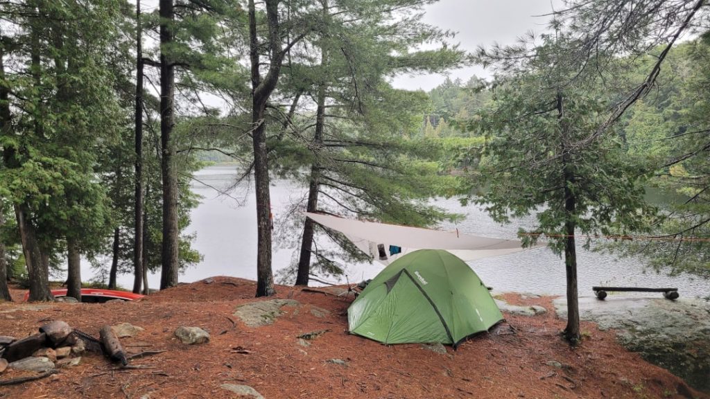





Day 4: Big Porcupine Lake to Smoke Lake (12.2 km, 2 portages: 590 m, 240 m), and Home
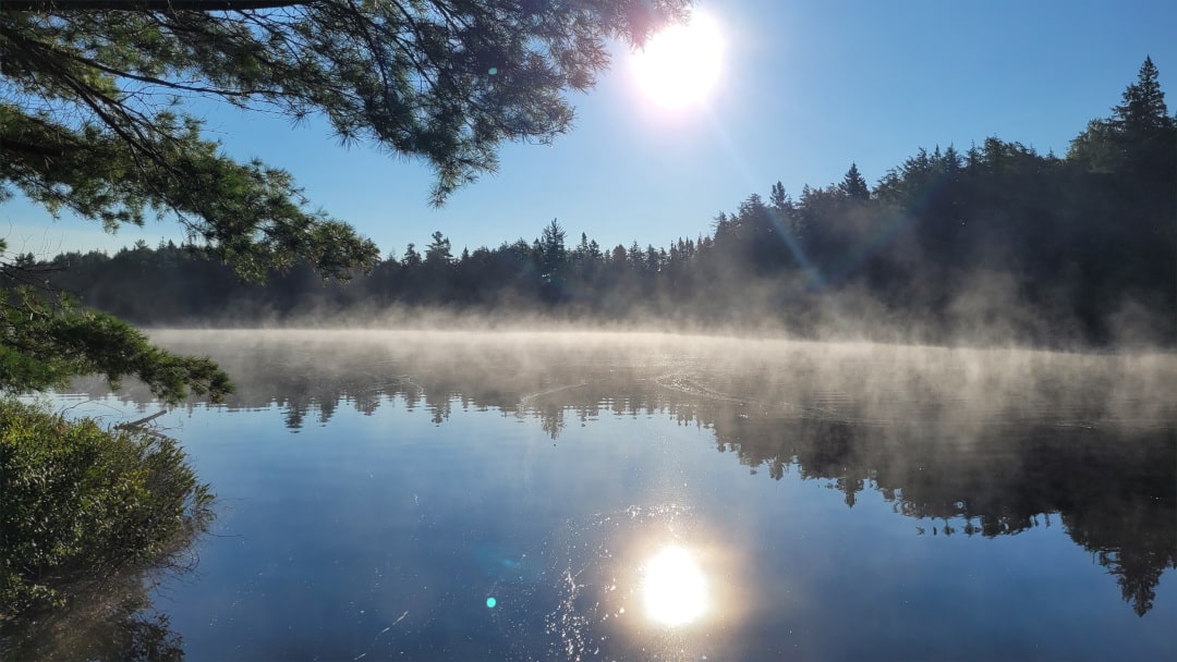
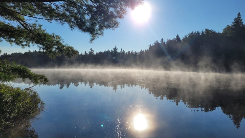
We both slept in on our last morning. I got out of the tent around 8:30 to find a brilliant blue sky and glassy calm water with mist gently rolling off the lake. I dawdled around camp a while enjoying a morning coffee, and Michaela continued to enjoy her sleeping bag. I dragged her out of the tent after 9, and made pancakes and bacon for breakfast – complete with homemade maple syrup. Yum.
I’ve brought pancake mix on every canoe trip I’ve done (ok, only 3 before this) but never got to making them. Not sure why, it was easy and delicious. I used a “just add water” mix and prepared the batter in the ziploc bag I’d brought the mix in. Just need to be careful not to add too much water. I was a bit worried about running out of fuel for the stove, and didn’t really want to go about starting a fire – thankfully I had enough for our pancakes and to boil some more water for another cup of coffee.
We took our time packing up camp. I was a bit worried about getting on the water late and then having to battle afternoon winds but I also didn’t want to rush on our last morning. It was almost 11 by the time we had the canoe loaded and set off. We enjoyed the still relatively calm paddle up Big Porc, the warm sunshine was a pleasant change from the cold wet morning the day prior.
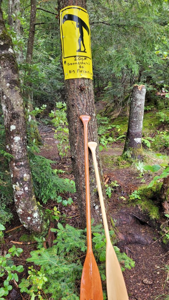
We made it to the portage to Ragged Lake a little before noon, this of course again being the much dreaded “Devil’s Staircase”. At least this time we were going down (2 trips down carrying gear, 1 trip empty-handed back up). After carrying our packs down, and then hiking back up to Ragged, I cooled off with a quick swim while Michaela enjoyed the last of our candy. We took a rest partway down on the canoe carry trip, taking advantage of the canoe rest part way down.
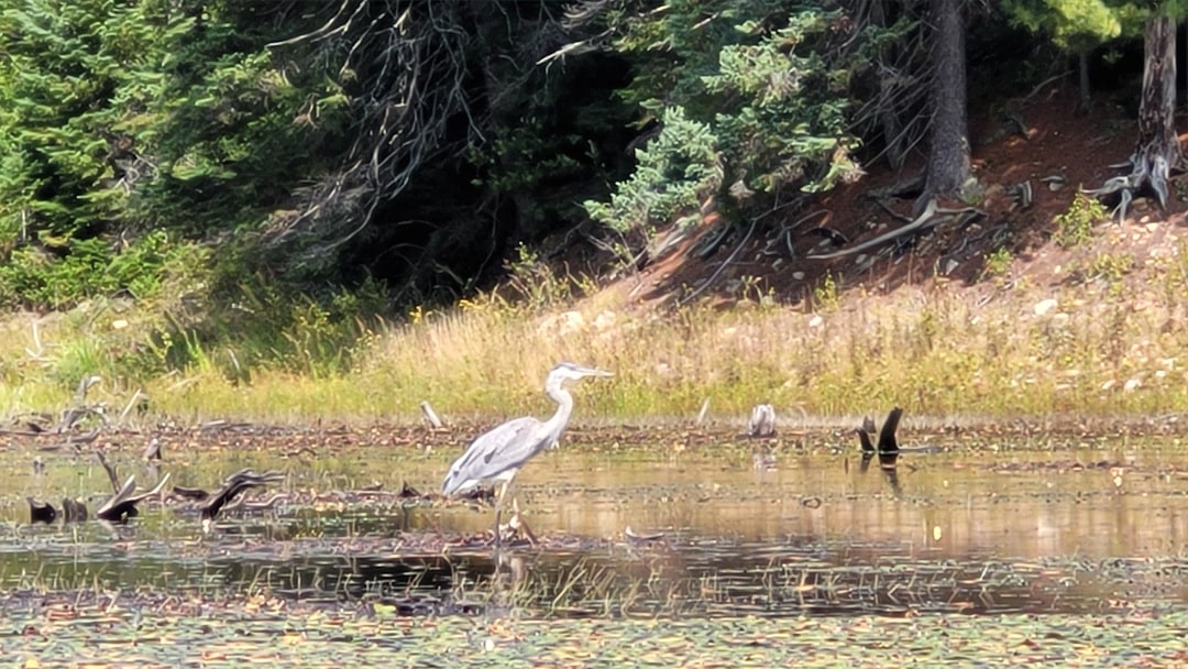
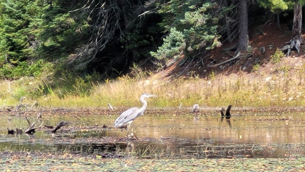
After finishing up the portage, I really enjoyed the paddle out of the grassy/weedy bay and we were able to get relatively close to a heron perched on a stump. But by the time we made it onto open Ragged Lake, the wind was pretty strong and we fought dead against it up the lake. It was a good warm-up for what was to come on Smoke Lake.
We had a pair of loons guide us into the north bay of Ragged Lake, sticking very close to the canoe, which was very cool. There was a rowdy group of young males at the portage takeout, they were headed in the opposite direction, it was a bit of a sight watching them load up 3 canoes with ridiculous amounts of gear and then set off hooting and hollering, radio blasting, down the lake. I feel sorry for whoever ended up with them as neighbours that weekend.
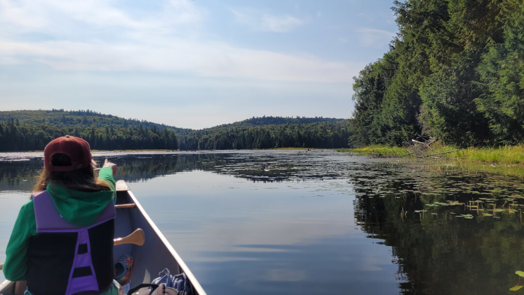
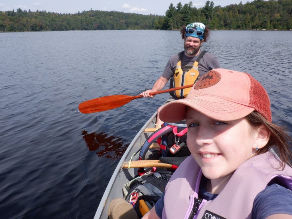
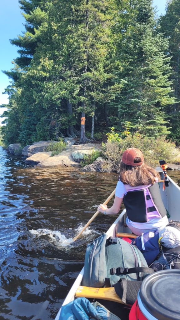
Other than that, the last portage of the trip (240 m) was uneventful, though energy levels for both of us were getting really low, and the wind was definitely picking up. I was worried about Michaela and didn’t like the thought of being the only paddler in the canoe trying to get us up Smoke Lake. After we got loaded up and were about to set off, Michaela flipped a switch. Somehow, she summoned another gear and her attitude was really inspiring. She just said – “well, we’ve got to get there so let’s just do it!”. And then she didn’t stop paddling the whole way, into a very strong headwind – I think it took us nearly 2.5 hours of fairly intense paddling. Taking just a few breaks when we could find refuge along the eastern shore.
Strong headwinds on the last lake of a trip seems to be a recurring theme for me (now 3 out of 4), and as I’ve done on the other occasions, we kept our paddling rhythm by chanting with each stroke “burger, fries, ice cream” (ok the “ice cream” replaced “beer” on this occasion). We kept spirits up with other silly songs and chants along the way as well.
The last stretch from Mollie’s Island back to the access point was certainly the roughest, I kept taking inspiration from Mikey in the bow and paddled as hard as I could and gradually the cars in the parking lot grew larger and larger, and thankfully the waves grew smaller and smaller. We hit the docks at 3:40 in the afternoon, both of us all smiles and I think both with a great sense of accomplishment.
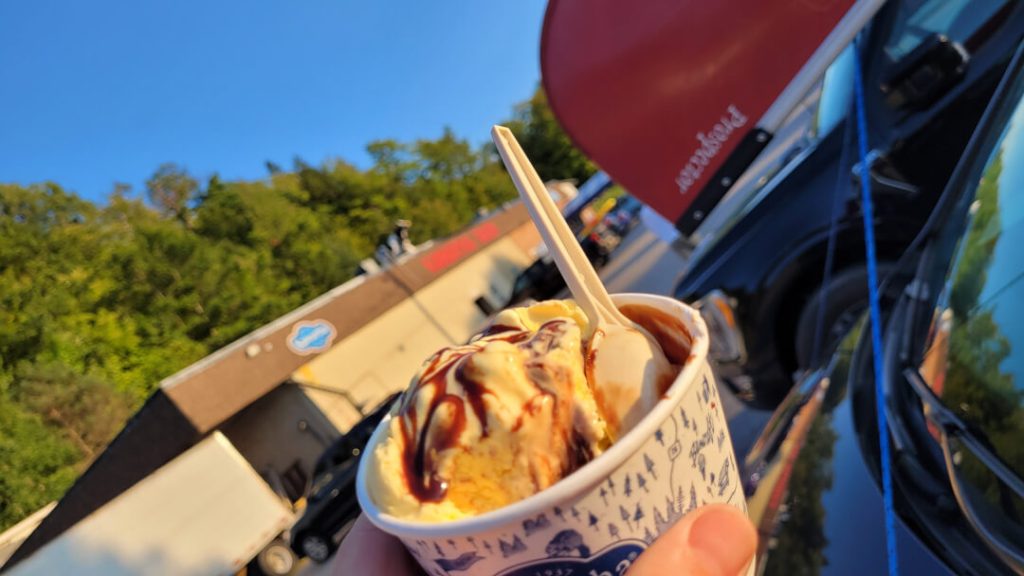
After loading our gear in the van, and getting the canoe strapped to the roof, we headed across Highway 60 up to Canoe Lake to get changed into some clean clothes and get that much-deserved burger and cold drink – we saved the ice cream for the drive home, hitting the Kawartha Dairy in Minden.
| Total Distance | 12.2 km |
| Portaging Distance | 830 m |
| Number of Portages | 2 |
| Campsite Reservation | N/A |


Reflections
I was so proud of my daughter on this trip, and she’s such amazing company. We had a blast, and it’s time I’ll never forget and can’t wait to do it again.
I was happy with the route we’d chosen, while still a popular and busy area (though less so than Canoe Lake on the other side of 60), we found solitude along the way and enjoyed the tranquillity of the backcountry. Particularly on Phipps Lake, something about having a lake to yourself. Daily travel distances were manageable and generally, the portaging was easy (other than the Devil’s Staircase).
I had a few pieces of new gear on this trip, notably the Agawa Canyon saw and a food barrel with harness. I much preferred the folder bow saw to the little Bahco Laplander folding saw I’d previously used. I also really liked having a barrel for food, rather than a soft dry bag. A bit more bulk and heavier to hang, but I found I was able to keep food less squished/squashed/stanky/generally messed up. The Level Six barrel harness also worked out great, very comfortable and seems well made to last.
That’s four backcountry trips in Algonquin for me now (and have since done another in Kawartha Highlands), all from different access points (Rock Lake, Canoe Lake, Shall Lake and Smoke Lake). Maybe setting a precedent there, perhaps I’ll set a goal of doing a trip from each and every Algonquin access point 🙂 Will see where we might end up next…
Author Bio
I’m a 40-something husband, father of three girls, metallurgical engineer who spent summers as a kid “camping” in a developed tent and trailer park in the Muskoka area of Ontario. I’m now lucky to live in the beautiful Kawarthas on the Trent Severn Waterway, with many opportunities to get out for short canoe or kayak adventures.